Making your dreams take flight | info@wild2fly.co.za | +27 83 393 3938
CP (Car Park) should be fun this morning! ;)
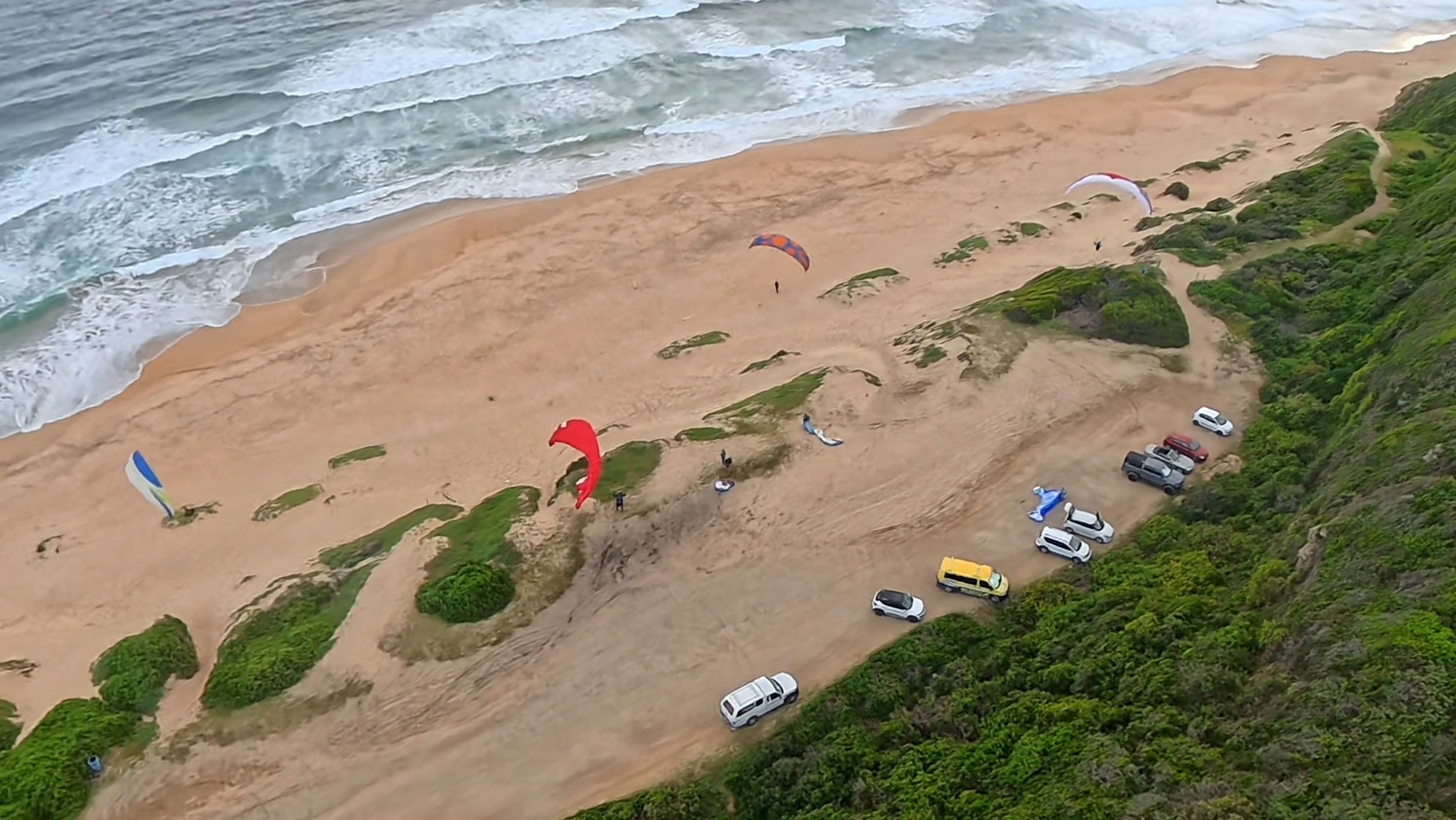
The weather and safety outlook for 22 April 2026.
There is a flying tip and an acronym index at the bottom of the report for those not understanding some of the weather jargon. ;)
22 April 2026
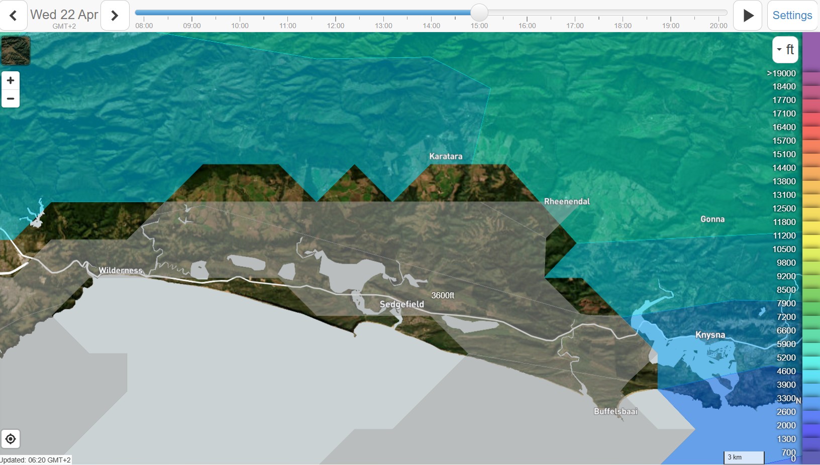
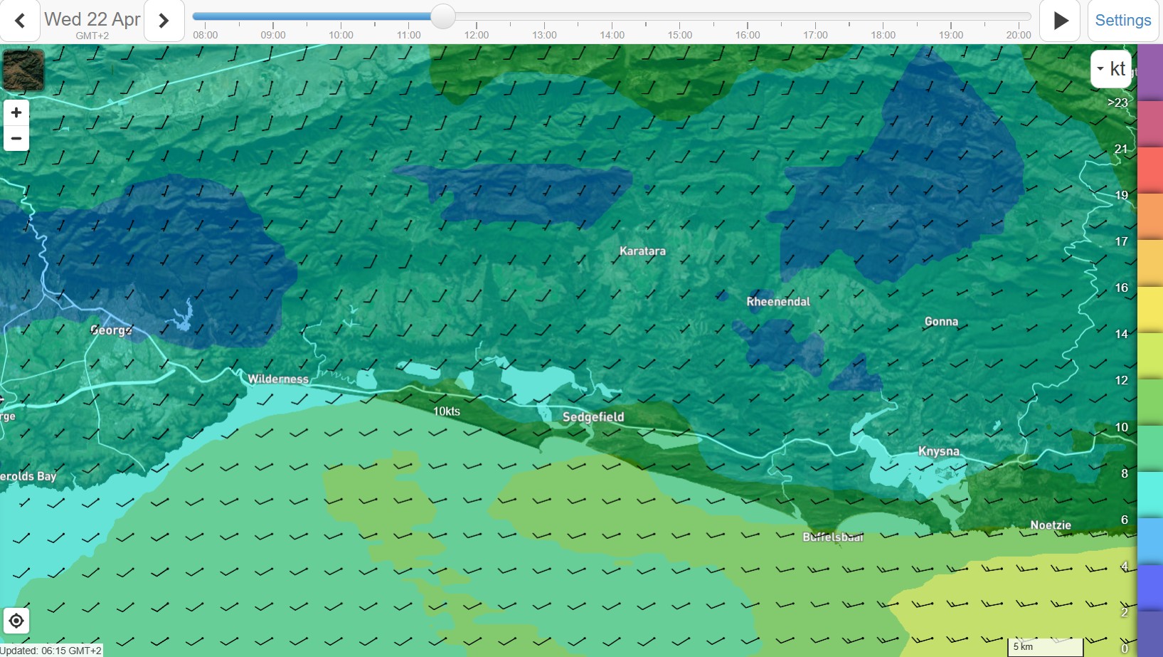
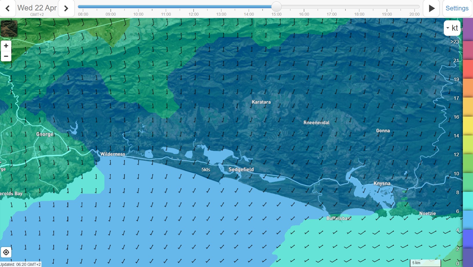
Good morning all you amazing Wild2fly people! Happy 16th birthday to Kellan – John’s little dude – watch this young pilot for the future guys! ;) So yesterday was another bust day for flying on the Wilderness area. The CF movements being too wild. Thanks to the netting gang for offering your time and resources to collect much needed launch nets. You guys are awesome! :) Then a great 323km straight line flight from Bolder Colorado in the US yesterday. Jared on his Zeno 2 getting over 5000m. :) https://www.xcontest.org/world/en/flights/detail:jaredscheid/21.04.2026/16:51 And then Fiellies Jnr are competing in Brazil at the PWC series - https://scoring.pwca.org/valadares-2026/task2.html He finished in 49 yesterday 6min behind the winner. That’s stiff competition! ;) lol Back to today’s weather. That CF moving into Maputo by midday and leaving in its wake some excellent cold unstable air. Noticeably there are no wave formations around today - the front dominating the whole SA weather. For us in Wilderness some light morning showers till lingering but forecasted to clear during the morning. Lots of initial cloud around and the wet grounds perhaps inhibiting the thermal formation - though it’s very unstable so it might not take much for thermals to form. It looks like the clouds will be more broken up from after lunch onwards - that’s when things should really kick off! ;) Base is high with 3k and over 4k mid-afternoon on the back flats. Wind starting off W then backing to the SW mid-morning with a gradual backing to S in the afternoon. Mayb a tad SSE. The morning with 10knots or more but the afternoon looking to be less than 10. I think the coast should deliver some sweet soaring for the morning and then Sedge for the afternoon. Great XC potential today. Looks like 2 groups - the more advanced pilots hoping to get away from Map and onwards to Rheenendal and the second group opting to go from Sedge and then over the back - towards Rheenendal or perhaps even to the Map if your timing is good. ;) But def looking like a day to go flying and not working! ;) Lekker! Low tide at 13:06 and high tide around 6 hours before and after that. Sunrise was at 6:58 and setting at 17:58. Daylight of 11 hrs and 1 min! Max temps today a cold 17 degrees C in Wilderness. Have a lekker one everybody and as always, remember also to take a moment and reflect on God. :) That’s really what life is all about. (John 10:10. Rom 10:9. Eph 4:31-32.)
Todays flying tip: If you hike and fly, close your trousers over your shoes/boots so any twigs or other goggos, fall off the outside of your shoe - it must miss dropping inbetween your socks and shoes! ;)
Map top landing Site briefing here: https://wild2fly.co.za/index.php/weather-wilderness/weather-wilderness-history
Did you know, we do CAA approved Mustache/Parakite introductions and conversions. :)
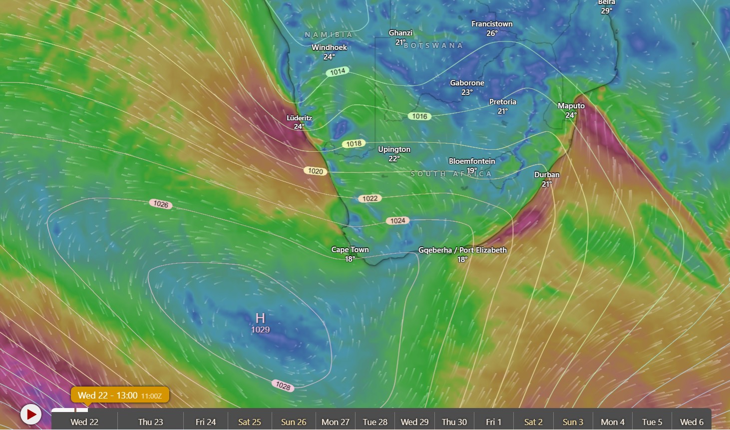
SA synoptic at 14:00 :)
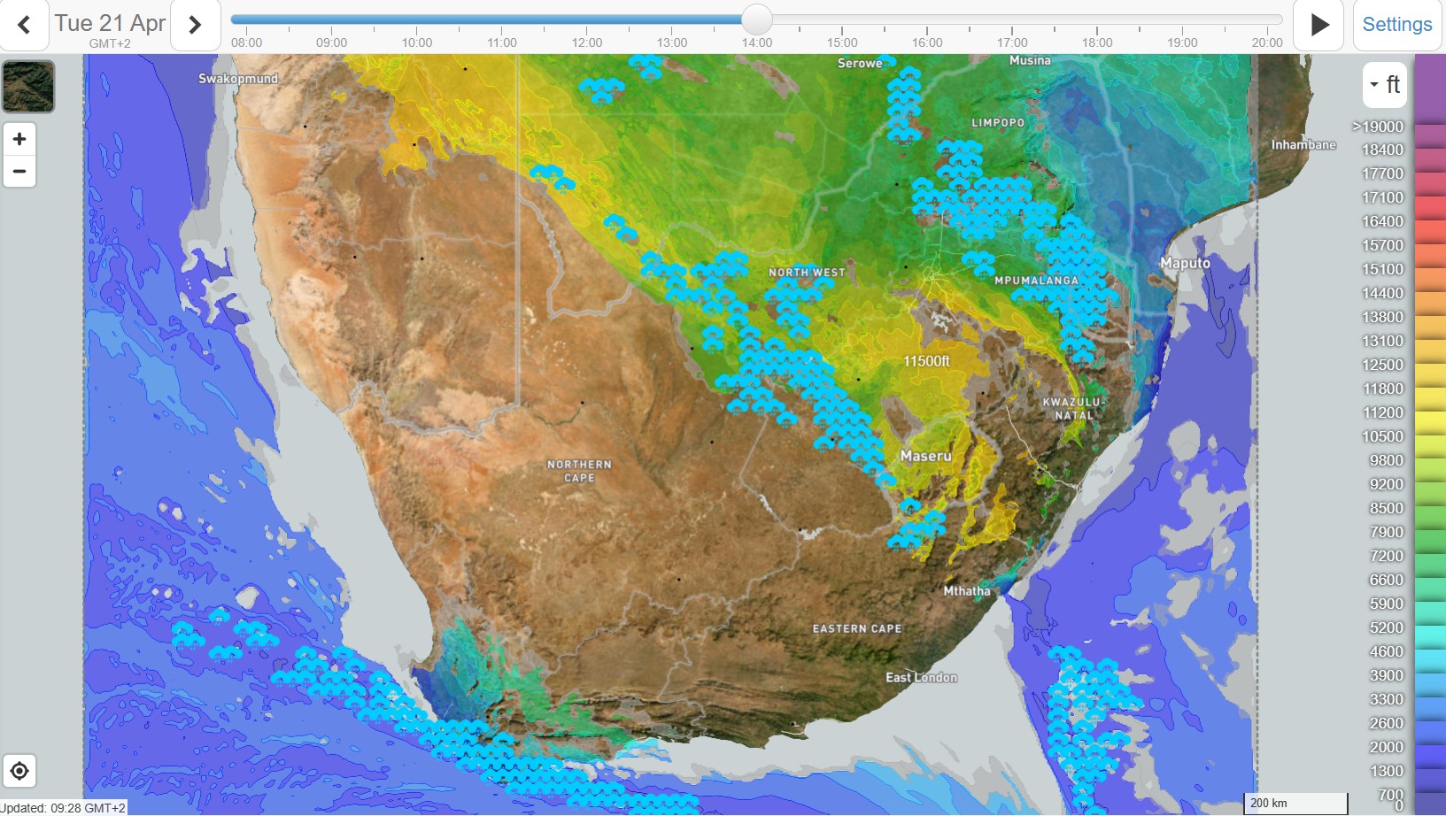
Cloud base for SA at 14:00. :)
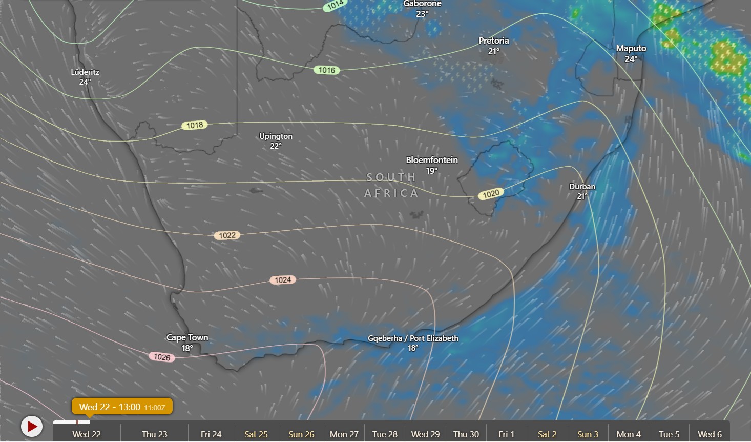
SA midday rain. ;)
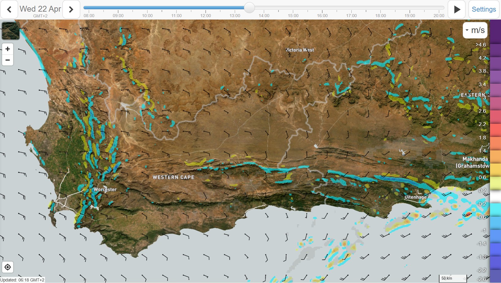
Vertical velocity at 7k :)
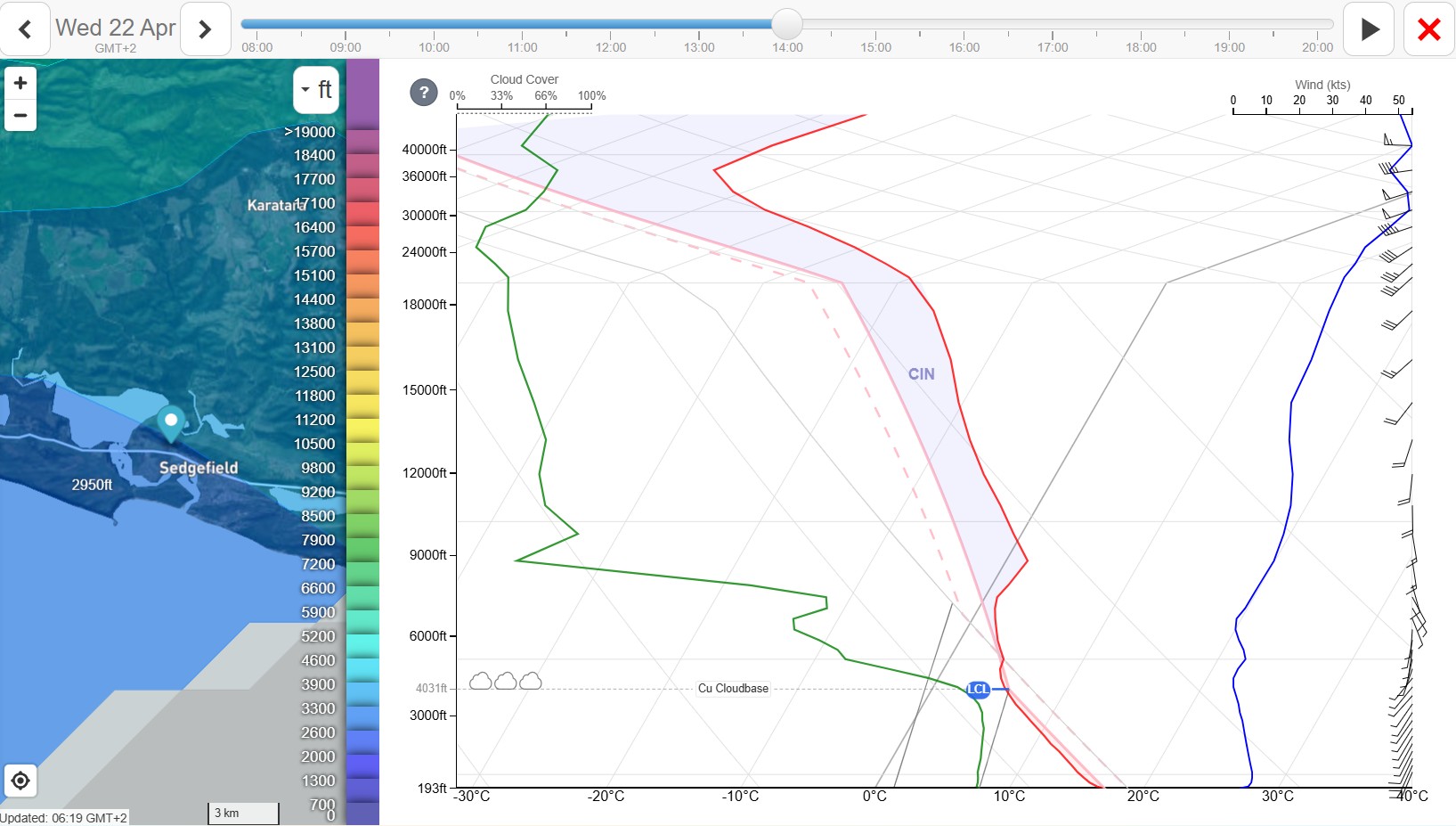
Sedge SkewT :)
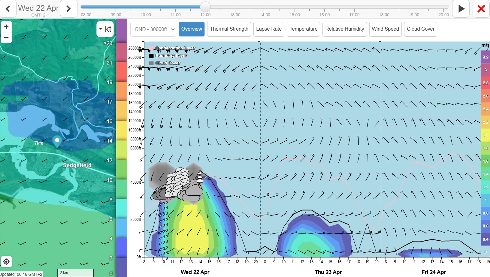
Sedge 3 day Overview. ;)
Wilderness cloud base late morning :)
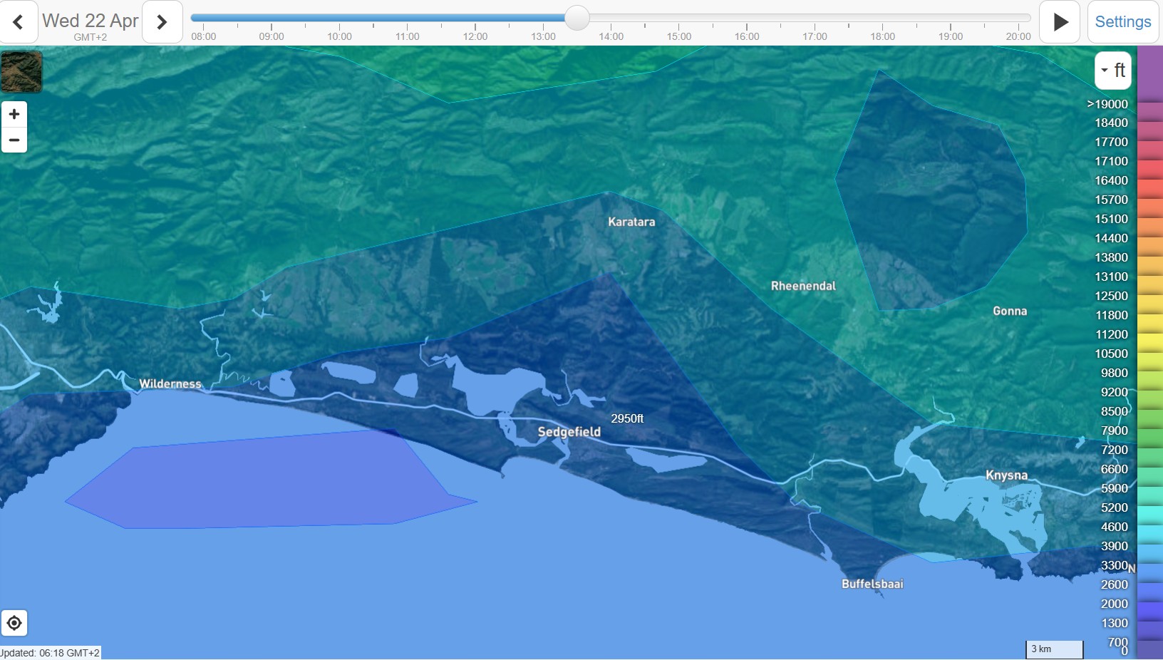
Wilderness cloud base afternoon :)
Wilderness winds late morning. :)
Wilderness regional winds very later in the day. :)
Do you like reading flying related stuff? ;) Check out my old blog for some interesting fun and musings on life and flying around the tropical islands of Seychelles. http://wingsandwhalesharks.blogspot.com/
Wild2Fly weather report Acronym sheet
IOH – Indian Ocean High Pressure System
LSH - Lesotho High Pressure System
CB - Charlie Bravo, Aviation term for Thunderstorms
CT – Cape Town
CF - Cold Front
CATS - Clear Air Turbulence
CoL - Cut of Low
GR - Garden Route
EL - East London
LR – Lapse Rate
FH - Franschoek
PB - Picketberg
CP – CarPark
WWB - Wrong Way Bob
Q's - Cumulous clouds
MIT - Metrology
MET - Meteoroly
VFR - Visual Flight Rules
FVR - For the dislexic - means same as above... :))
WYSIWIG - What You See Is What You Get.
SHPB - Southern High Pressure Belt
;)

